We’re launching our 2021 fundraiser today—your chance to give back

Space City Weather is free, and always will be. But it costs money to produce and publish this website, and Matt and I put a lot of time and effort into our product. Today, with the opening of our 2021 fundraiser, comes your chance to give back. Your purchases and donations during the next three weeks will support the site next year, allow further upgrades to our app, and more. It’s also a nice way to thank us for our efforts following a wild weather year that included a historic freeze and Hurricane Nicholas.

This year we are selling t-shirts and sweatshirts with two different designs, an umbrella, an insulated tumbler that people loved last year; and new for this year, a baseball hat. You may order any of these items by clicking on the links below, or visiting the entire collection here. All items should arrive a week before Christmas. You may also simply donate money by clicking any of the links, and selecting “donate only.”

Thank you for your support—Matt and I are always truly humbled by the response to this fundraiser.

Tuesday

Conditions are cool this morning, but we’re already seeing the return of some clouds that herald the coming of somewhat more humid air, and warmer nights. With light southeasterly winds, we’ll see partly to mostly cloudy skies for the remainder of Tuesday, with highs pushing into the mid- to upper-70s. Rain chances are near zero. Overnight lows will drop to around 60 degrees in Houston, with cooler conditions inland, and warmer ones near the coast.

Wednesday

This will be another day with a mix of sunshine and clouds, but with rising atmospheric moisture levels there will be a slight chance of light rain, perhaps about 20 percent for Houston. Winds will also be more prominent on Wednesday, likely gusting to 20 mph or higher from the south. Expect highs to top out somewhere from 75 to 80 degrees. This will be the warmest night of the week, with lows only dropping into the mid- to upper-60s for most.

The NAM model is fairly quick with the front’s timing, bringing it to the coast by around 10 am CT on Thursday. (Weather Bell)

Thursday

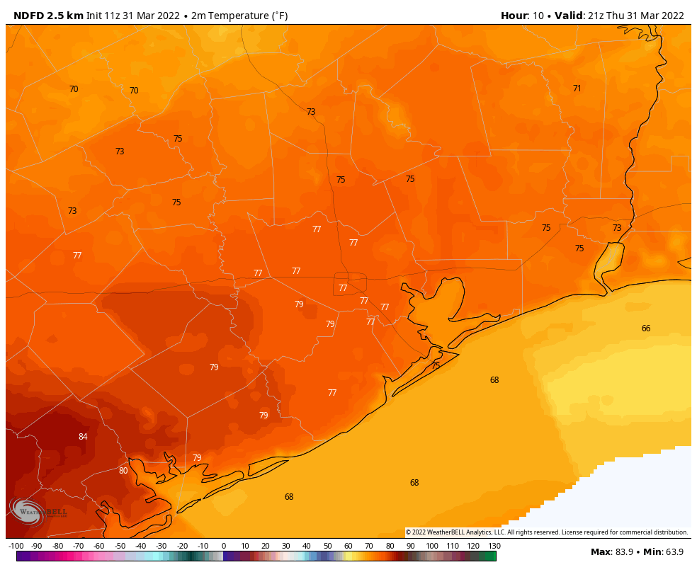
A cold front remains on track for Thursday, and it now looks likely to reach the city of Houston by or before noon, and pushing off the coast shortly afterward. There appears to be no line of storms with the front, and if you do see rain accumulations will probably be less than a quarter of an inch. After the front moves through we should see clearing skies and falling dewpoints. So while afternoon highs will reach the upper 70s, it should feel much drier out. Overnight lows should drop into the 50s for all but the coast.

Friday, Saturday, and Sunday

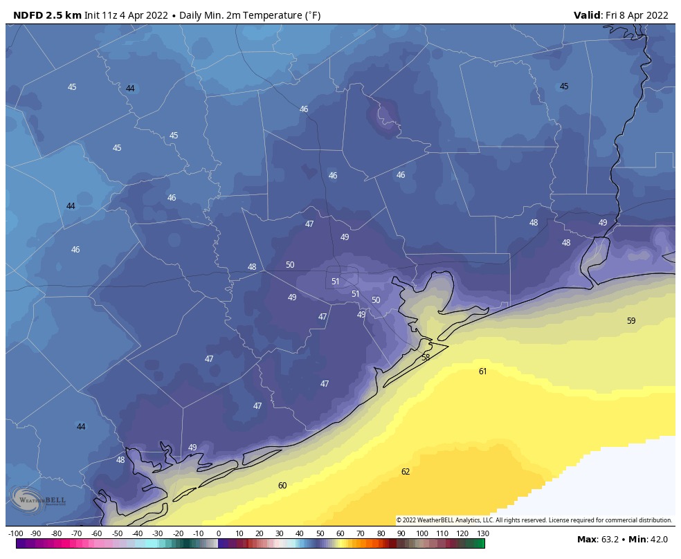
The weekend looks clear and cool, with highs generally ranging from the upper 60s to mid-70s. Lows should drop into the 40s for inland areas, about 50 degrees in central Houston, and a bit warmer along the coast. Saturday should be the coolest day. Enjoy the fall weather, y’all!

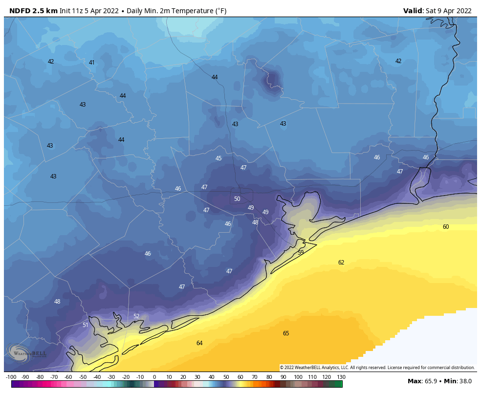
Saturday morning low temperatures. (Weather Bell)

Next week

Highs next week should recover to the upper 70s, but there’s not yet a clear picture on when our next front comes through—Wednesday? Friday? It’s too early to have any confidence.

Houston to warm up for a few days before the next front on Thursday

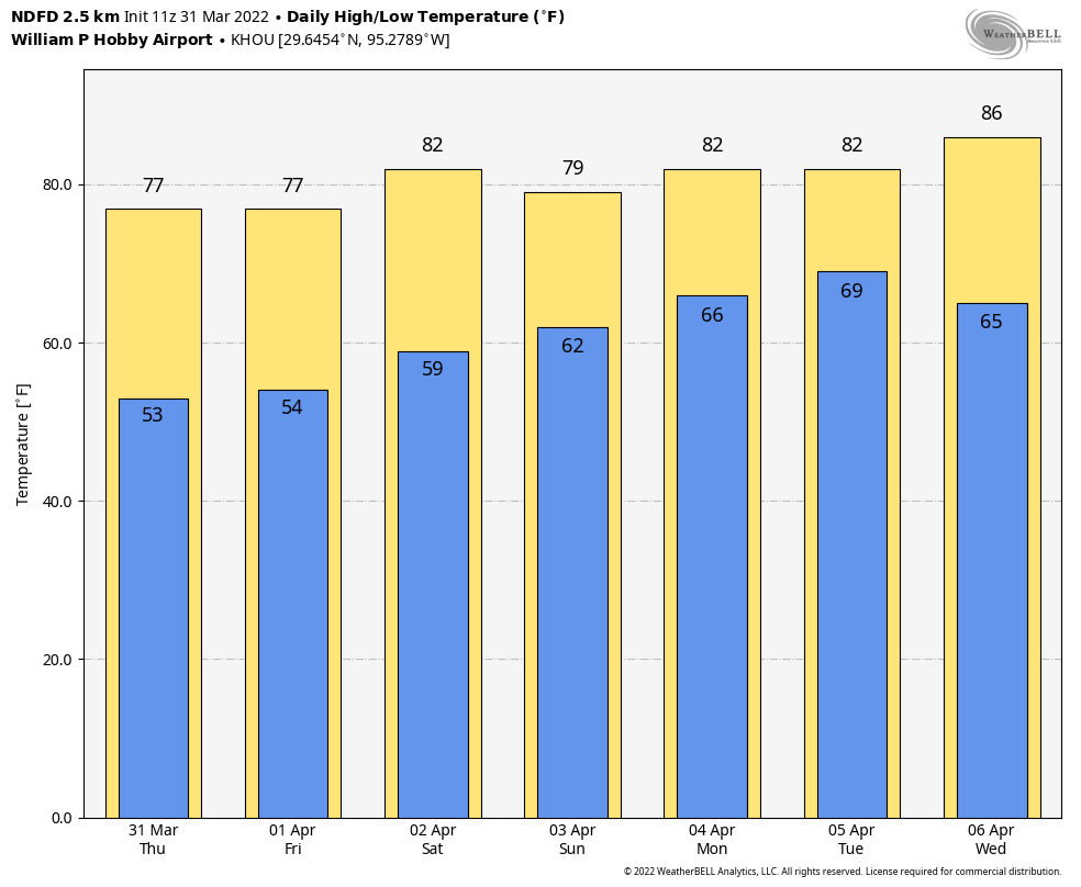
Houston’s clear and fine weather will continue Monday before we see an increase in humidity and overnight temperatures running into Thursday. After that time another cold front should arrive, setting the stage for a clear and cool weekend. The weekend mornings look chilly, with widespread lows in the 40s.

Monday

With calm winds this morning, some patchy fog will be possible across the area, but it should burn off fairly quickly. Skies will be mostly sunny, with light winds out of the southeast, and highs pushing up into the mid-70s. With these winds, dewpoints will continue their slow rise, and as a result overnight temperatures will probably be 5 to 10 degrees warmer on Monday night that Sunday night. Still, much of the region should still drop into the 50s.

It will be a fairly dry week, with only light rainfall accumulations expected through Sunday. (Weather Bell)

Tuesday and Wednesday

These will be warmer, more humid days, with highs between 75 and 80 degrees. Winds will start to pick up out of the south and southeast, becoming more noticeably gusty on Wednesday. Both days should see a mix of sunshine and clouds. Rain chances should be about 10 percent, or less, and anything that falls would probably be almost a mist rather than any real rain. Overnight lows will start to get a little sticky, probably only falling into the mid-60s for the city, and low 70s along the coast.

Thursday

The next front should arrive some time on Thursday, probably during the afternoon hours, although confidence in its timing remains fairly low. We probably will see some scattered showers on Wednesday night and Thursday ahead of the front, but right now the ingredients aren’t really lining up for any serious storms as the front blows through. Lows Thursday night will probably drop to around 60 degrees in Houston, with cooler conditions inland and warmer temperatures along the coast.

Friday

This should be a mostly sunny day, with highs around 70 degrees. Winds will be noticeable out of the north, perhaps gusting to 20 mph or a little higher. With clear skies, Friday night into Saturday morning could be quite chilly, with lows dropping into the low- to mid-40s across much of Houston, away from the coast.

Saturday (shown here) and Sunday mornings will both be clear and cool for Houston. (Weather Bell)

Saturday and Sunday

Are you spoiled yet? We look set for another clear and sunny weekend, with highs in the mid-60s on Saturday, and low 70s on Sunday. Winds will be generally light and dewpoints low. By Monday we should start to see a warming trend, although right now I don’t anticipate high temperatures will get above the 70s next week.

Gray today, but lots of sunshine is on the way

Good morning. A cool front pushed through Houston on Wednesday with mostly light to moderate rainfall. The rains now have ended, and we’ll be a left with a gray and cool day. In fact, if the high today does not reach 65 degrees at Bush Intercontinental Airport, this will be our coolest daytime temperature since February 20, when our region was emerging from the Valentine’s deep freeze. Don’t worry, there are no freezing temperatures in our near or mid-term future.

Forecast high temperatures for Thursday. (Weather Bell)

Thursday

Temperatures this morning range from the upper 40s to mid-50s across the region. It feels a bit chillier than that, however, with winds out of the north at about 10 to 15 mph. Skies are cloudy, but this afternoon some sunshine should begin to peak through, likely earlier for inland areas and later along the coast. We can’t entirely rule out a bit of drizzle for coastal counties, but mostly the rain is gone. As skies clear out this evening and overnight, temperatures will drop into the 40s for all but coastal counties.

Friday

Highs on Friday will generally get into the upper 60s, with light northerly winds and mostly sunny skies. Overnight lows will be similar to Thursday night, or perhaps even a touch cooler.

Friday morning will bring the chill to Houston. (Weather Bell)

Saturday and Sunday

This will be our second splendid fall weekend in a row, with highs in the low- to mid-70s, sunny skies, and dry air. Overnight lows will generally be in the 40s for inland areas, and 50s for Houston and the coast.

Next week

Highs will warm into the upper 70s to 80 degrees by Monday, as some clouds and moderately more humid air returns with the onshore flow. But nighttime temperatures will still drop into the low 60s, or so, and I don’t think things will get too sticky out there. Rain chances appear to be minimal until Wednesday or Thursday, when the next front seems likely to arrive. This should set the stage for another clear, dry, and cool weekend!

Rainy for the next day as a cold front slogs into Houston

Change is on the way for Houston, with a front nearing the area. This front will be something of a slow mover, so it may rain on and off from later today through Thursday morning before skies finally begin to clear out. This weekend still looks clear, cool, and exceptional.

Wednesday

Skies will be mostly cloudy today, which should help to limit high temperatures to the mid-70s. Winds will be light, generally from the northeast. Rain showers should start to develop north of Houston later this morning, and then fill in across the region this afternoon and overnight. We’re probably not looking at anything too extreme in terms of rainfall, with most of the area seeing perhaps 1 to 2 inches through Thursday morning. Temperatures should begin falling by around mid-afternoon, with 60s this evening, and 50s overnight.

NOAA rain accumulation forecast for now through Thursday. (Weather Bell)

Thursday

This will be a chilly day that likely starts out wet, with ongoing light to moderate rainfall. Winds may gust to 15 to 20 mph from the north during the late morning hours, but the front will bring nothing like last week’s stiff winds. Even though skies may begin to clear somewhat during the afternoon, highs will likely top out in the upper 50s to low 60s. If the high stays below 65 degrees, it would be our coldest day since February 20, when we were finally starting to come out of the Valentine’s freeze. Temperatures will fall to near 50 degrees on Thursday night in Houston.

Friday, Saturday, and Sunday

This three day period should bring sunny skies and cooler weather, with highs ranging from the upper 60s on Friday to mid-70s on Sunday. Both Friday and Saturday night could see lows in the upper 40s in Houston, with cooler conditions inland, and warmer along the coast.

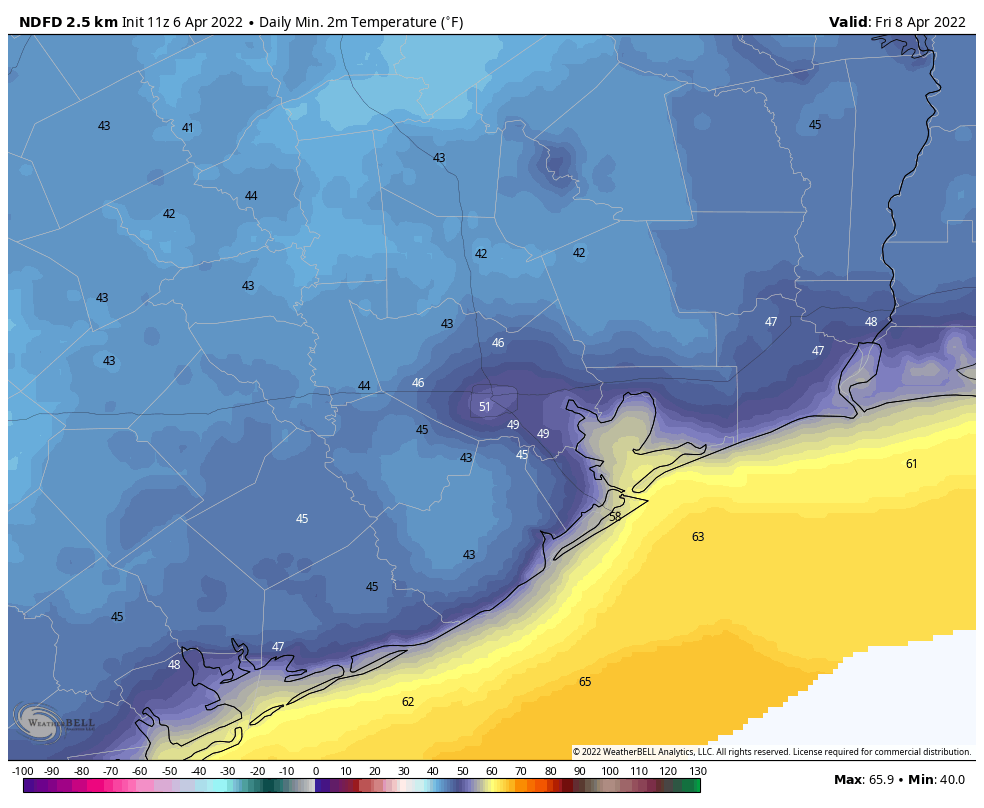
Forecast for low temperatures on Friday morning. Saturday will be similar. (WeatherBell)

Next weekend

As the onshore flow returns later this weekend, we should see a warm-up next week back toward highs of around 80 degrees, lows in the 60s, and rising humidity. Rain chances seem low for the most part. Another front seems likely to move through around next Thursday, although we’re not locked in on such a solution yet. This front, if it makes it through, would setup another great fall weekend should it come to pass.