Houston will enjoy one more day of fall-like weather before we transition back into warmer weather for the weekend. But by Monday or so we should enter a more prolonged period of cooler, fall-like weather.
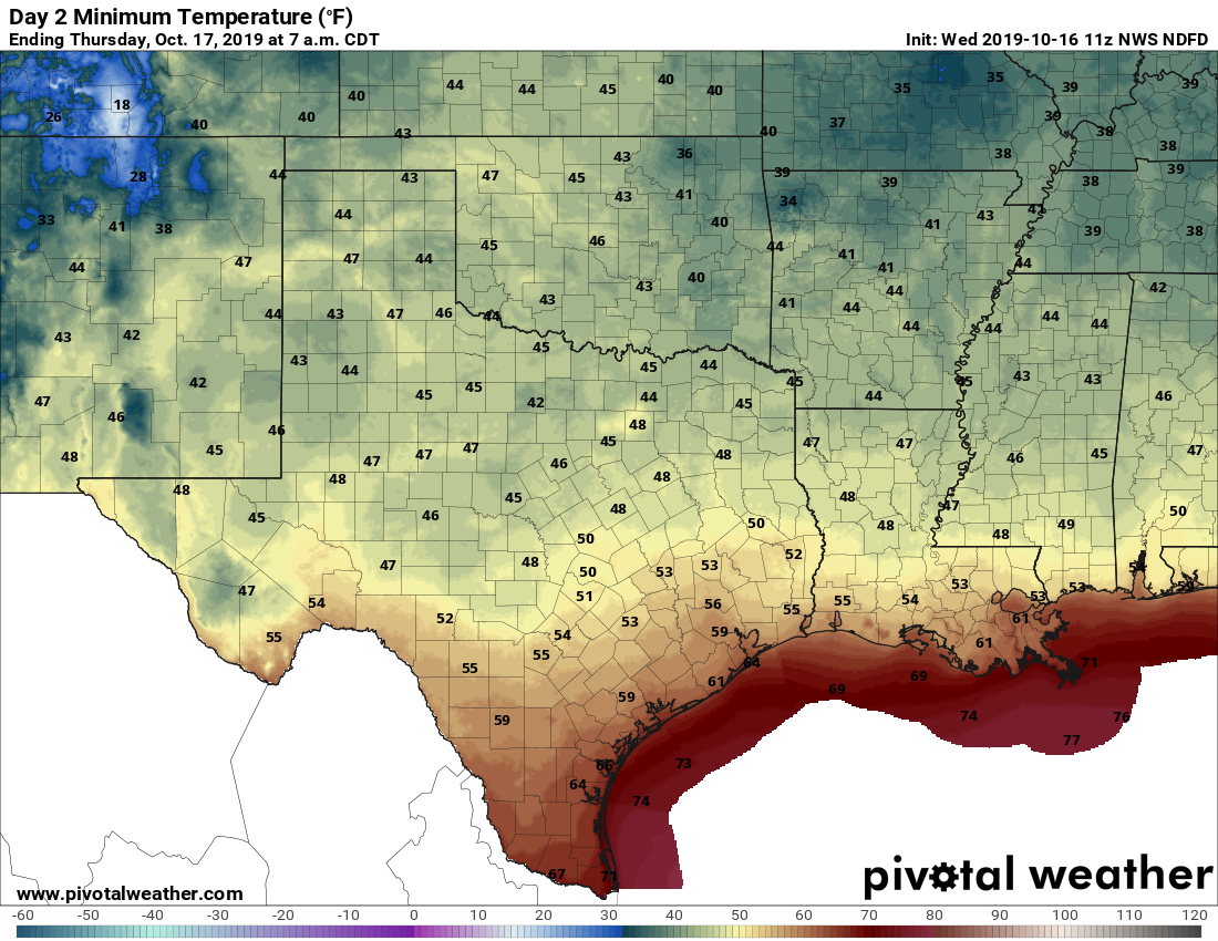
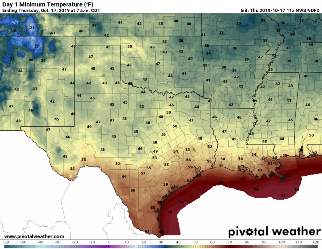
Thursday
After starting out in the 50s for all but the immediate coast, today will rise into the low- to mid-70s. Houston is not going to get warmer than that due to a cool, northerly breeze as well as fairly persistent cloud cover. Low temperatures on Thursday night should be similar to Wednesday night, albeit a degree or two warmer.
Friday
As the onshore winds return Friday, temperatures will warm some. But this still will be a fairly nice day, with highs of around 80 degrees and mostly sunny skies.
Saturday
The first day of the weekend will be quite warm. As I’ve been suggesting, this weekend will probably be the last time the Houston region has a chance for high temperatures in the 90s this calendar year. (Houston has never hit 90 degrees, on record, after October 29th). In any case, Saturday, will be hot and sunny, with temperatures in the upper 80s to lower 90s.