We’ve had some beautiful weather this spring break week. But as we head to the back half, we will have a few minor showers to discuss today.
Today
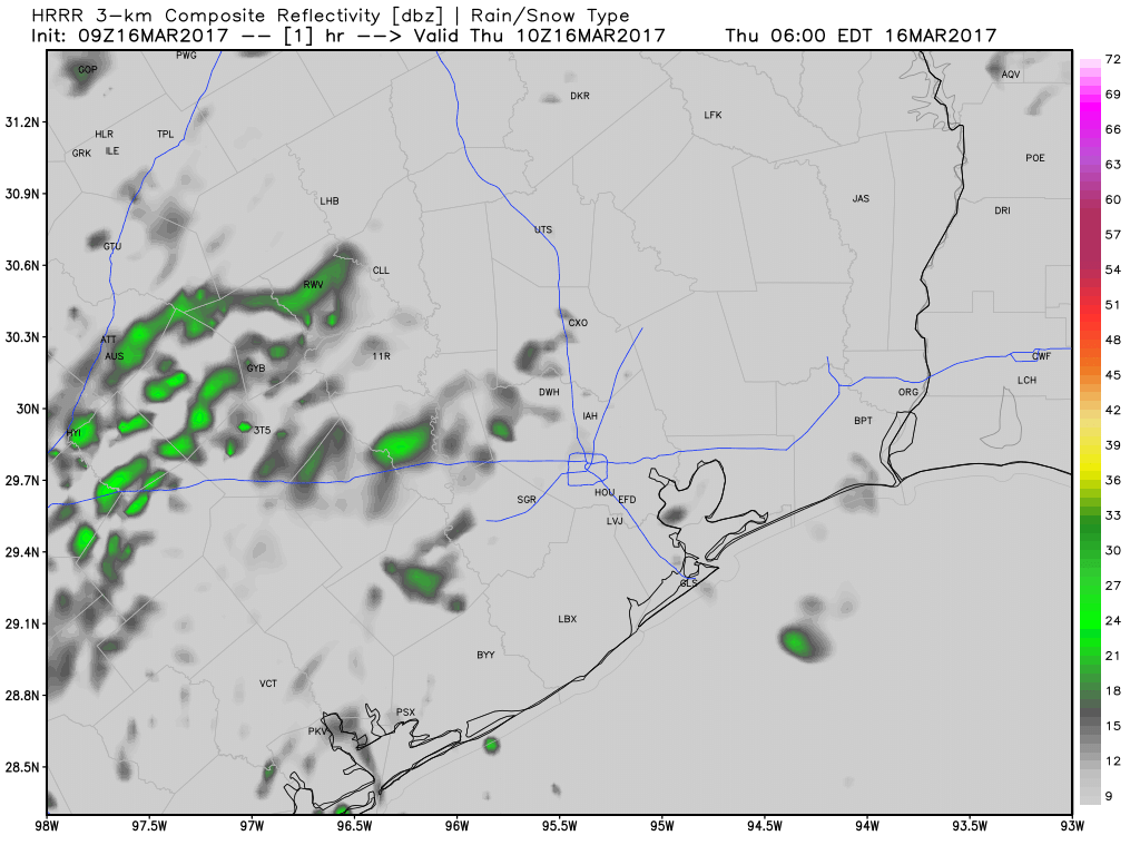
Our beautiful weather ends today, though it certainly shouldn’t be too terrible. We’ll start with clouds this morning, and as the day goes on, we should see breaks of sun here and there. I wouldn’t be floored to see us actually have a good bit of sun for awhile at some point. For the most part though, today will be mostly cloudy. Though the majority of us will be dry for the majority of the day, we will see showers develop. Expect narrow bands of weak showers to stream in off the Gulf across the Houston area this afternoon. One or two showers could be steady for a bit, but with a good onshore flow, I expect any rain will be mostly brief and move on by fairly quickly.
Temperatures will slowly warm up with the clouds. Expect to see us hit the low 70s this afternoon.
(Space City Weather is sponsored by an anonymous donor this month.)