Back on Friday, I wrote in our weekend forecast discussion that “if the chance of a shower is about 10 percent Friday and Saturday, maybe it inches up to 15 or 20 percent Sunday.” We pride ourselves on honesty here at Space City Weather, and that will end up likely proving inaccurate. The reality is that compared to Friday, our Monday front is a bit faster and has a burst of upper level support in the atmosphere this afternoon which should allow storms to blossom today.
Radar is quiet as of this writing, but as an upper level disturbance interacts with the ample heat and humidity over our area, it may be just the trigger needed for strong thunderstorms to develop north of Huntsville and Conroe by about 3 or 4 PM. We expect a complex of storms to develop up that way and drop into places like Conroe and The Woodlands between 7 and 9 PM or so.
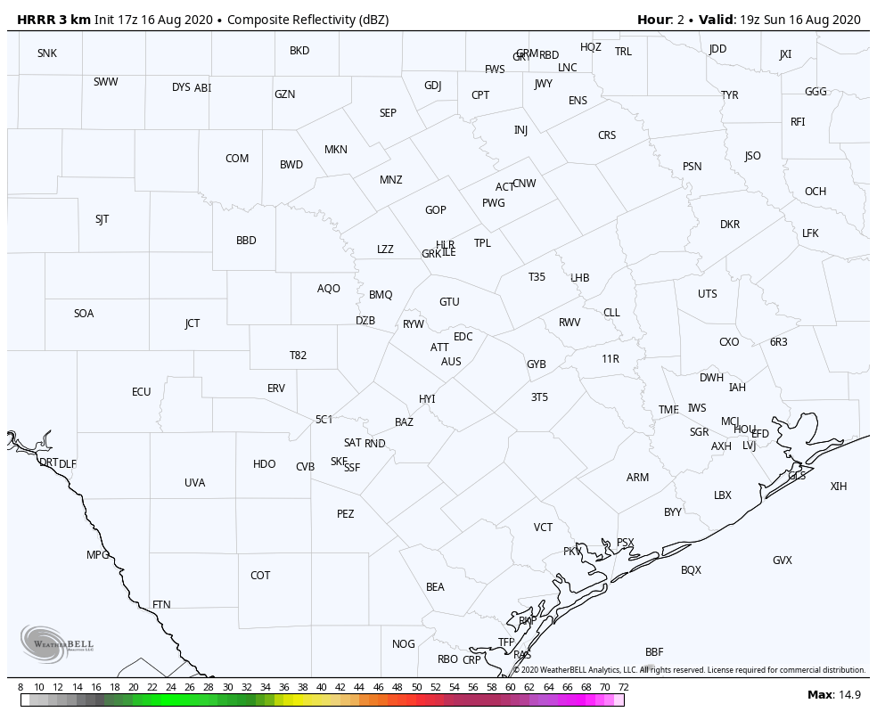
After that, things do become a little more uncertain. Most modeling does bring those storms into the I-10 corridor and possibly points south after 8 to 9 PM or so. We’ll see if the storms can survive the trip, but the bottom line is a likely dry afternoon for Houston and points south, with storm risks increasing later in the evening.
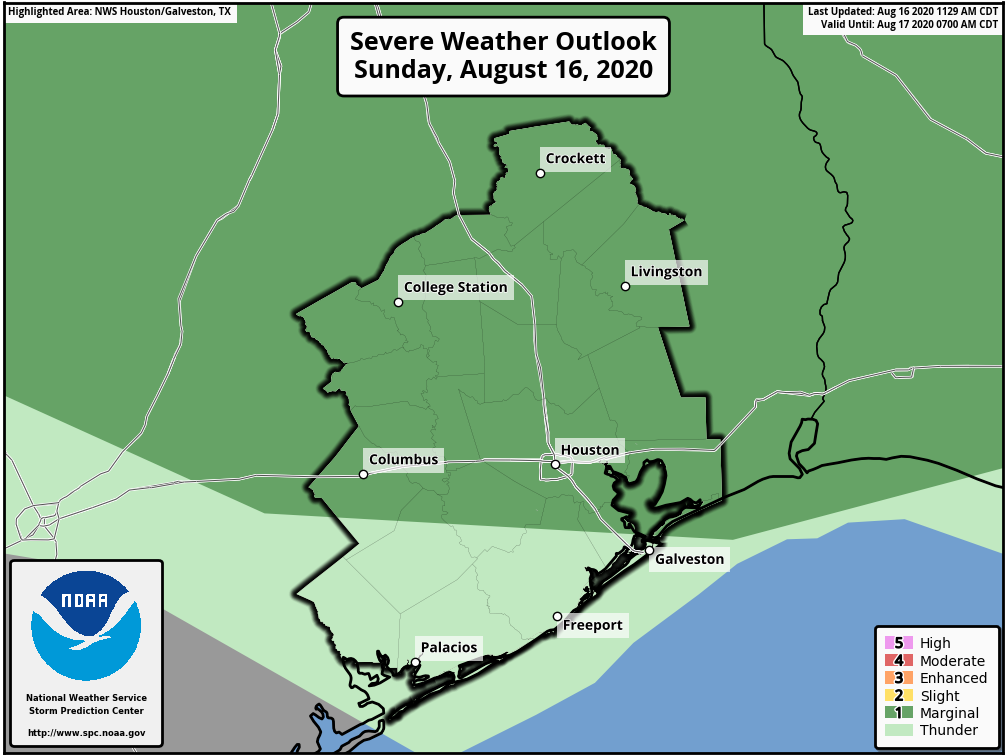
This does not look like a high-end severe weather outbreak, but storms could certainly become strong to severe as they drop through the region. We are in a “marginal” risk (1/5) of severe weather. Hail is a possibility, but as is often the case in these sorts of setups, strong winds may be the more common problem. With the storms moving at a pretty healthy clip, look for gusty winds ahead of the rain this evening, especially north of I-10.
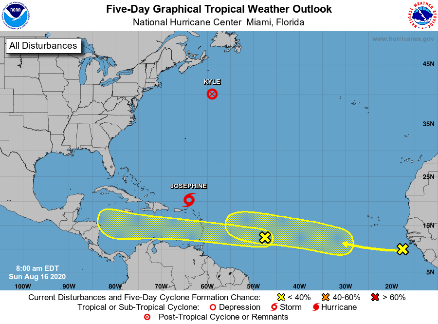
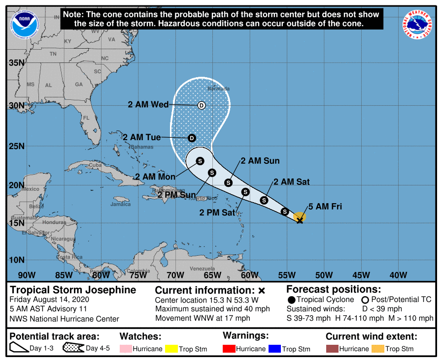
Storms should dissipate or move offshore overnight, leaving us mostly quiet to start Monday. We can’t rule out more showers and storms tomorrow. The cold front should arrive later tomorrow, ushering in slightly less humid air for midweek, which will be most noticed at night via slightly cooler nighttime lows. Eric will have more on that in the morning and an update on the tropics, which he has already touched on today.

