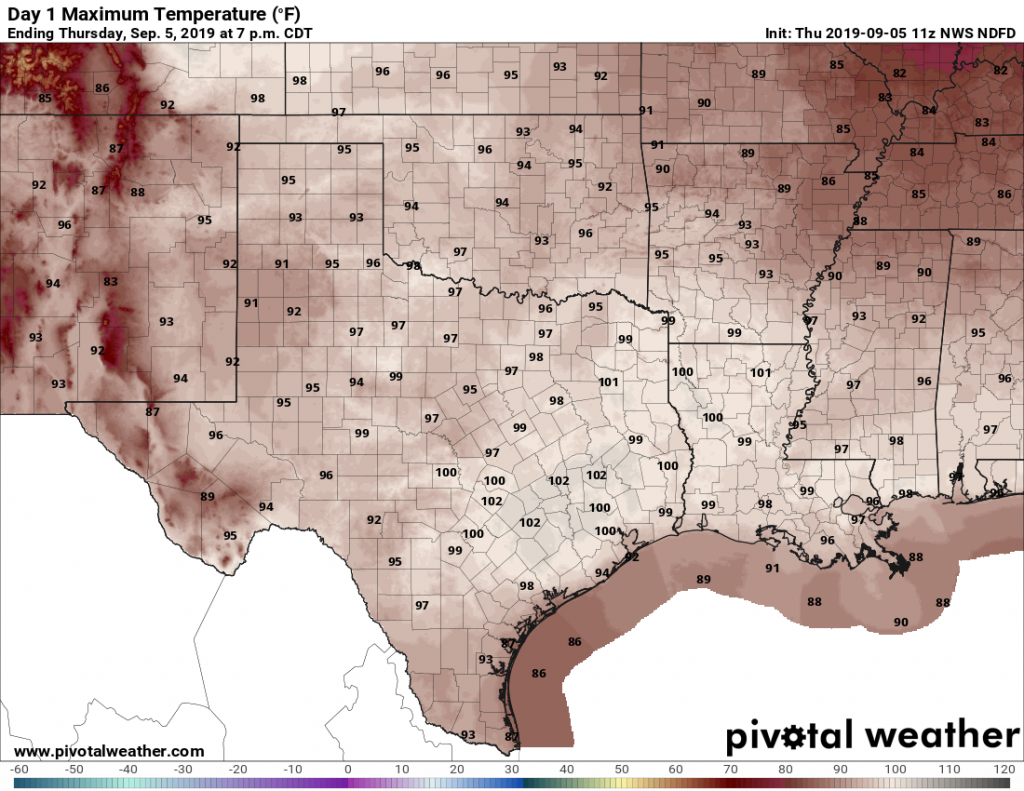
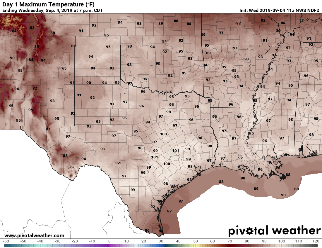
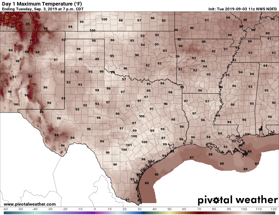
Autumn is really just a state of mind. In Houston it has to be because you certainly would never know it was just about autumn by stepping outside. The high temperature on Thursday was 99 degrees at IAH Airport. Hobby managed to hit 96 degrees. This heat will continue.
Today and weekend
Expect mostly a rinse (without the water) and repeat weekend of weather here in southeast Texas. We will have sunshine and heat. High temperatures should flirt with 100 degrees each day for Houston and points north and west. Coastal locations should top off in the mid-90s. Morning lows should be in the mid- to upper-70s. It may be a degree or two less hot on Sunday.
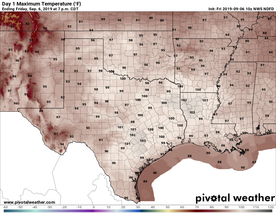
As Eric noted yesterday, we will definitely have a good shot at tying or breaking some long standing record high temperatures today and tomorrow. Sunday will still be possible but probably a bit less likely. The records:
Friday: 99° (1909)
Saturday: 98° (1963)
Sunday: 100° (1907)
Stay cool and do your best to conserve energy, particularly today.
Early next week
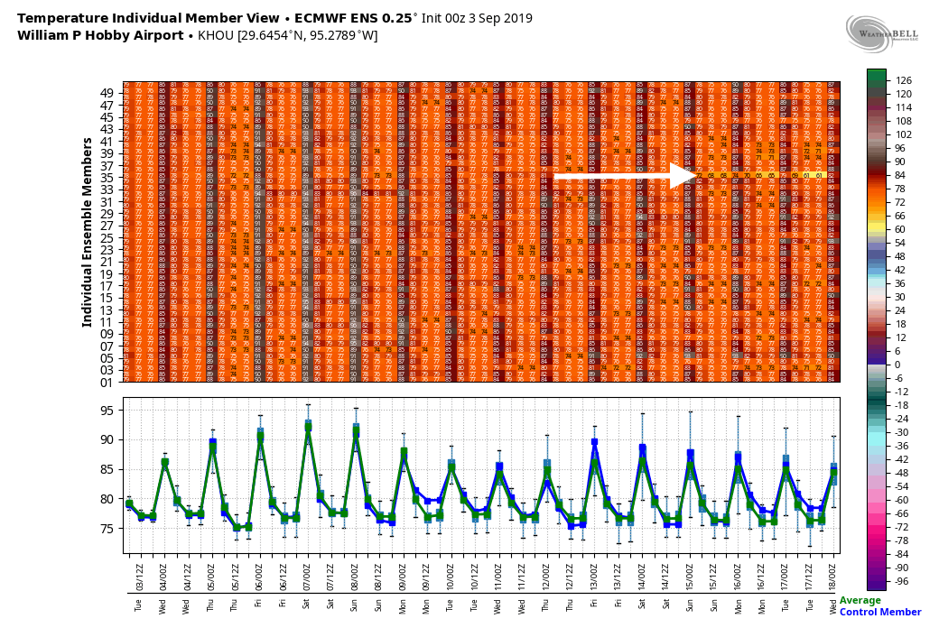
The dome of high pressure responsible for our surge of September heat is going to migrate off to the east next week. It won’t be far enough away to allow any kind of meaningful cool air to drop through the Plains, but it should be enough to at least allow sea breeze showers each day off the Gulf. This would be of the 20 to 30 percent chance variety. I would expect mid-90s each day, along with a bit more more humidity.