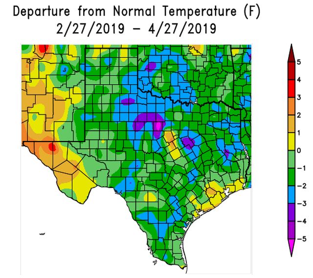
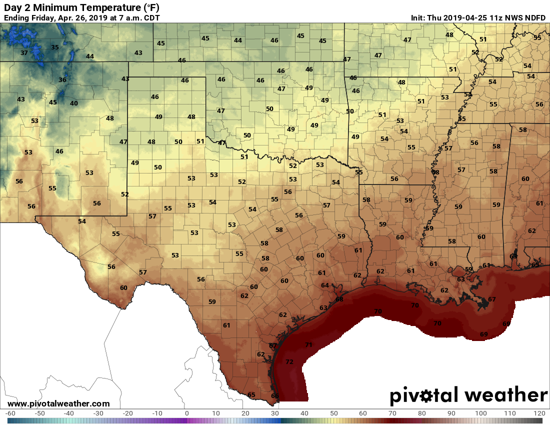
As Houston continues to slide toward summer, we’re looking at a period of partly or mostly cloudy skies, on-and-off rainy, humid, and fairly warm weather during the next week or so. Nights will remain warm and muggy for the foreseeable future, with much of the region never falling below the 70s throughout the forecast period.
Tuesday
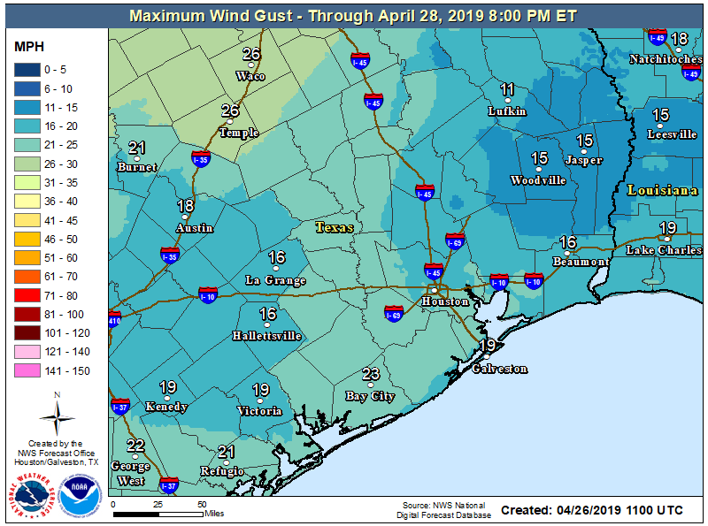
We may see a few brief, very scattered, light rain showers today—but for the most part skies will simply be cloudy. Despite the lack of sunshine, highs will generally get into the mid- to upper-80s on Tuesday, with temperatures a bit cooler near the coast due to the moderating influence of the Gulf waters. Southerly winds will be noticeable, gusting to perhaps 25 mph. Lows tonight will be in the 70s for all but very far inland areas.
Wednesday and Thursday
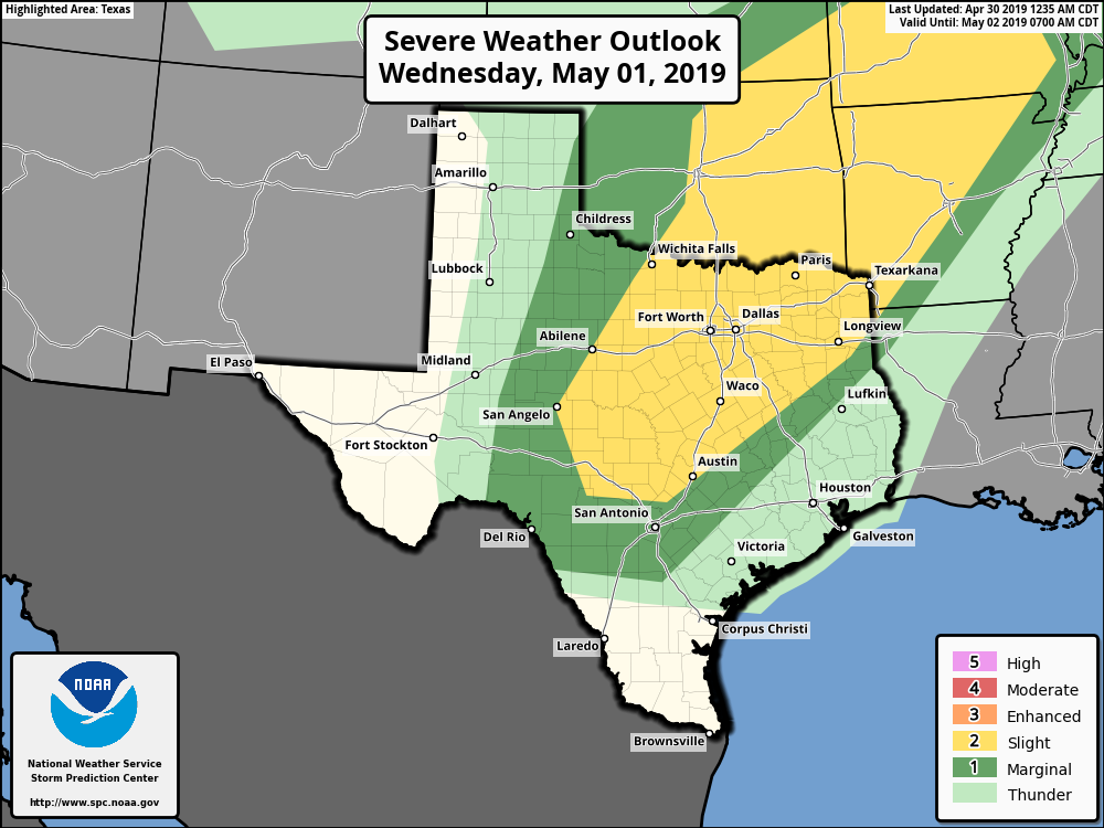
These should be a pair of partly to mostly cloudy days. A cold front is going to be moving through north Texas, but it’s going to stall before reaching the Houston area, and therefore any severe weather should remain to the northwest of the region (see the map from NOAA’s Storm Prediction Center above). As a result, Houston and its surrounding counties will see only a 30 or 40 percent chance of rain each day, with perhaps a few tenths of an inch of rain in terms of accumulation. Highs will remain in the mid- to upper-80s.