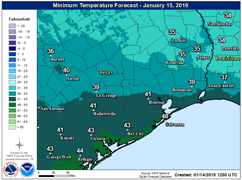
Well, the sunshine was nice while it lasted. But now we’re returning to a period of mostly cloudy weather for the next several days, and we probably won’t see much sustained sunshine until Sunday or so. After today we’ll also see a warming trend through Friday before the season’s strongest Arctic front to date roars through the area.
Tuesday
Temperatures are starting out in the 40s for most of the region, and due to thickening clouds they’re unlikely to rise much past the mid-50s. However, winds will be fairly light, from the east, so overall today should be a fairly mild winter day. Lows tonight will only drop a few degrees from daytime highs as a warmer, moister southerly flow begins later today.
Wednesday, Thursday, and Friday
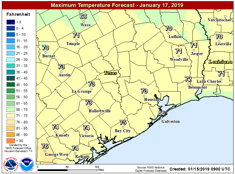
We’ll see continued mostly gray conditions for the second half of the work week, as well as rising temperatures and rain chances. Highs will transition from the 60s on Wednesday into the 70s on Thursday and Friday. Lows probably won’t fall much below 60, if at all, due to the persistent cloud deck. Rising moisture levels will mean the return of on-again, off-again light to moderate rain chances. While we can’t rule out a few thunderstorms, generally we expect moderate accumulations through Friday, with only a few tenths of an inch of rain for most.