Dense fog is again the story this morning, as very warm air temperatures in the mid-60s overrun run nearshore sea surface temperatures 10 to 15 degrees cooler. It will take some time for the fog to burn off, perhaps not until late morning for some areas. We can expect foggy mornings (and nights) through Thursday morning before a cold front snaps the region back into more seasonal temperatures.
Tuesday and Wednesday
The next two days should more or less be carbon copies of Monday, with high temperatures in the mid- to upper-70s and lows only falling into the 60s. Some very light, very scattered showers are possible both days, but for the most part we should just see clouds. Perhaps the only notable change will be an increase in southerly winds on Wednesday, as lower pressures over the central United States bring winds up to 15 or 20mph.
Thursday
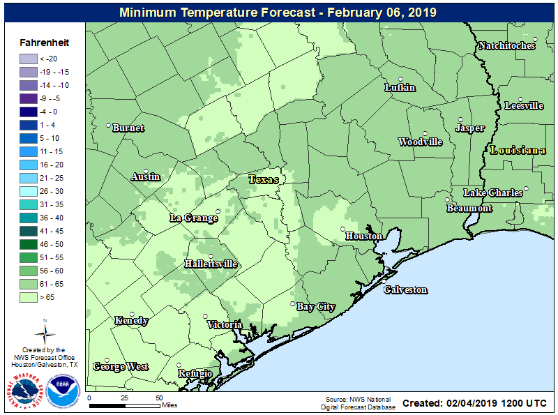
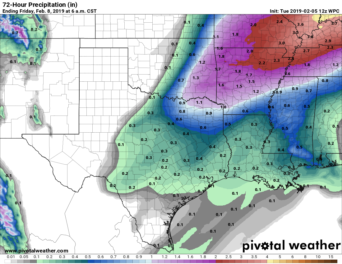
A cold front remains on track to push through Houston on Thursday, likely during the middle of the day. Rain chances will increase Wednesday night and Thursday morning ahead of the front, but again, accumulations don’t look too serious, with most parts of the area perhaps picking up two or three tenths of an inch. A few brief-lived thunderstorms will be possible. By Thursday afternoon or evening, rains should end as much colder and drier air blows in, bringing nighttime lows into the low 40s for most of Houston.