Temperatures during the first half of December were slightly cooler than normal, but looking ahead to most of the rest of the month it appears as though our weather will take a turn to become slightly warmer than normal. I don’t think we’ll see any weather above the low- to mid-70s, but both days and nights should for the most part be fairly moderate for the beginning of winter.
Monday
Temperatures this morning are in the low 50s for the most part—colder well inland, of course—and we’ll see a healthy warm-up today as winds have shifted to come out of the south or southwest. I’d expect highs today to push up into the mid-60s or near 70 degrees under partly to mostly sunny skies. Lows tonight will be similar to Sunday night, and as temperatures fall down toward the dewpoint temperature we could see some fog develop late Monday night and Tuesday morning.
Tuesday and Wednesday
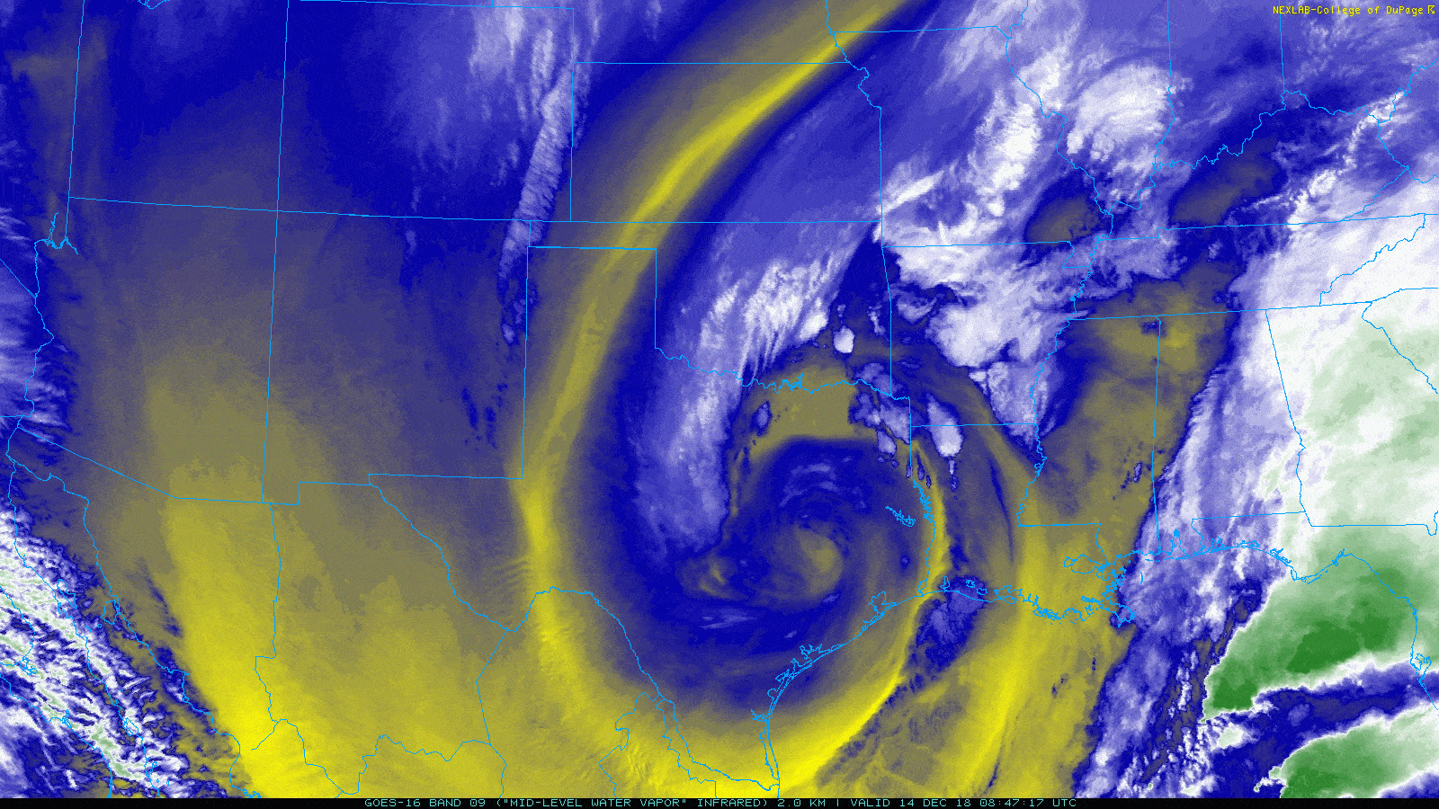
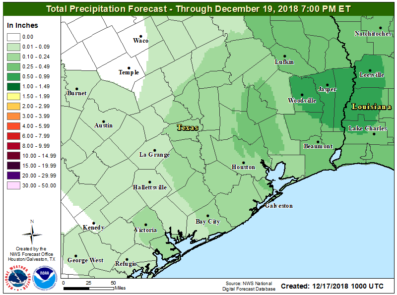
Highs on Tuesday will reach back into the upper 60s under partly to mostly cloudy skies, and moderately rising moisture levels will set the stage for rain showers Tuesday night. No models are really indicating the potential for heavy rain right now (and anticipated atmospheric moisture levels don’t really support that), so I think we’re probably looking at a few tenths of an inch of rain. Rain chances should slacken by Wednesday morning, and depending upon how much skies clear we could see highs of around 70 degrees with a sunny afternoon.