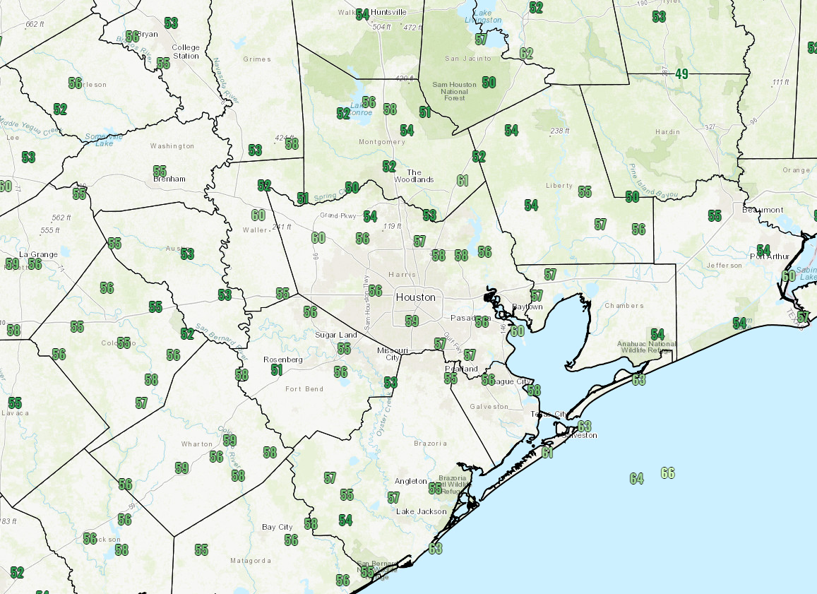
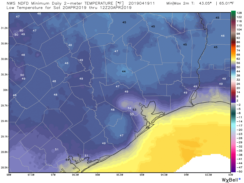
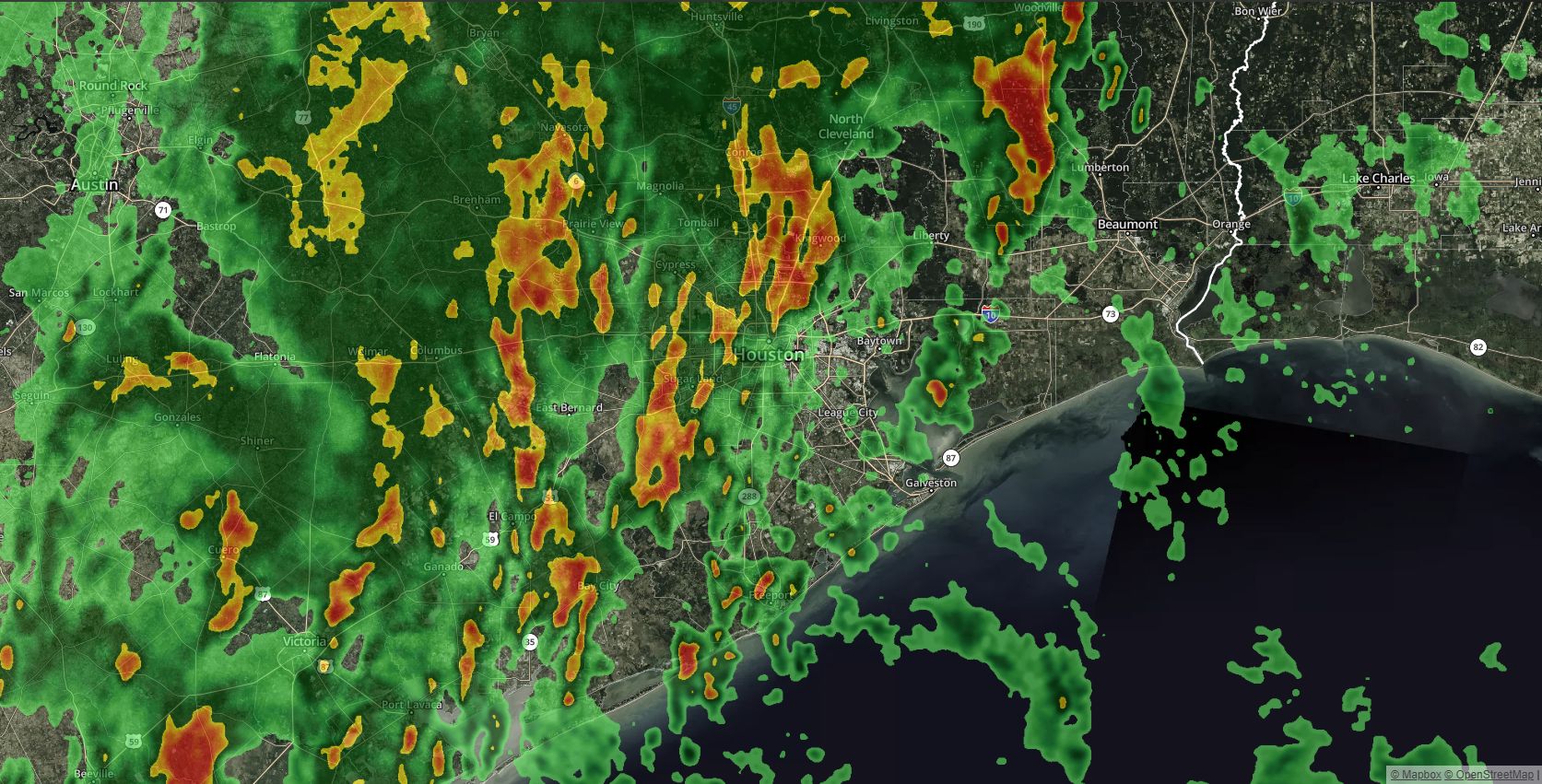
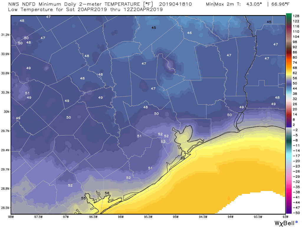
After several weeks this spring when the gorgeous weather fell during the weekdays, and storms on the weekends, Mother Nature got things right for Easter weekend with wall-to-wall sunshine, moderate temperatures and mostly mild winds. After the potential for some storms this week, sunshine should return next weekend, although it will be somewhat warmer as we edge closer to summer. (I hate to say it, but it would not surprise me if this was the last truly spring-like weekend of the season).
Monday
Today will be a day of transition, with a gusty southerly wind bringing moisture back inland. Still, I expect at least partly sunny skies, and this should allow high temperatures to reach about 80 degrees. Tonight will be warm, with most of the city in the mid- to upper-60s under cloudy skies.
Tuesday
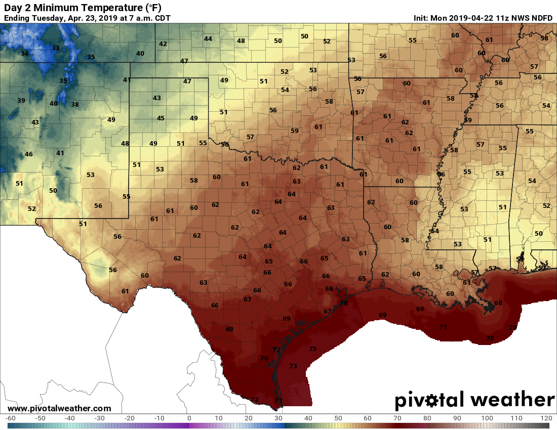
Clouds will largely cover Houston’s skies on Tuesday, and there will be enough moisture for some light rain showers, but I’d peg chances at only around 20 percent. High temperatures will depend on whether any sunshine peeks through during the afternoon hours, but we’ll probably see the mercury reach about 80 degrees again. It will be another warm night.

