September’s site sponsor: Meyerland Animal Clinic

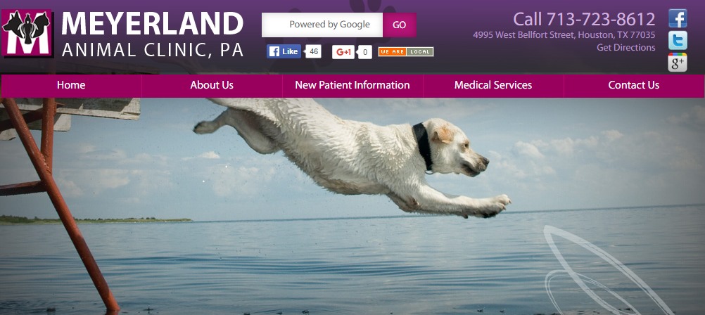
A new month means a new sponsor for Space City Weather, and I’m pleased to announce that Meyerland Animal Clinic, P.A. has returned to again support the site in September.

(Meyerland Animal Clinic, P.A.)


Thanks to their generous support we can provide all of our weather content for free, and without advertisement, for the entire month of September. Here’s a little bit more about their business:

Meyerland Animal Clinic has been serving Bellaire, Meyerland and West Houston since 1976. A full service hospital, we are here to help support the community and care for your furry family members. Aside from state-of-the-art medical care, we offer boarding and day care services (Yes, even in inclement weather.) Please contact our office if we can be of service to you and your pets.

The advantage of the sponsorship model is that we are under no pressure to generate web traffic for the sake of web traffic—so there’s no hype, no click bait and no nonsense. All we’ll do is continue to make the best possible forecasts we can make. So if you appreciate that, and have furry friends, please check them out!

Labor Day is over, so the cold front watch begins in earnest

Labor Day may have come and gone, but that doesn’t mean we’re going to see an immediate end of summer-like weather. As long-time Houston residents know, the first half of September can often feel almost as warm as August. That’s why, when we get to this point we’re often pretty desperate for the first real cold front of the season, and this year is no different.

Probably the most simple way to define the first “real” cold front is when temperatures fall to 65 degrees, or lower, on or after Sept. 1. This generally weeds out rain-cooled days and anything that isn’t a genuine front. When we do this for Houston, the following pattern emerges for the first fall cold front, with an average date of Sept. 18.

Chart of Houston first 65°F minimum temperature on or after September 1st. (Brian Brettschneider)

See full post

Strong, scattered storms likely for Labor Day afternoon

It may have been difficult to discern, but Friday and Saturday morning were a bit cooler and drier for Houston, especially northern parts of the region. Well, forget about that now, moisture began returning on Saturday to raise dew points and storm chances for the Labor Day Holiday.

Houston should see more of the same locally heavy storms that developed on Sunday across the region later today, although there may be some increase in coverage. As the storms should stream through the region at a fairly decent clip I don’t anticipate any flooding, but some areas could pick up 2 to 3 inches pretty quickly (while a few miles away may see dark clouds, but no rain).

Precipitable water levels will be about 140 percent of normal later today. (Weather Bell)

See full post

A mixed Labor Day Weekend for Southeast Texas

East Texas has been on the dry side of Hurricane Hermine in the Eastern Gulf. Typically we have onshore winds this time of year, but the last couple days, we’ve had winds coming from the north and northeast, ushering in just enough slightly drier air and sinking air to help temperatures surge into the mid and upper 90s (97° officially yesterday). Dry air is easier to heat up than high humidity air, so it’s been a hot couple of days. We’ll begin to transition back to typical late summer this weekend.

Today

Things start to get a little tricky today. Fortunately they won’t have major implications, but it may impact the details of the forecast a bit. A weak cold front to our north will drop southward today. It should essentially stall out and start to fall apart over us or to our north. Combined with the sea breeze returning, those two will act as a minor focus for some showers and storms this afternoon. The best chance for storms today will be west of I-45, but they will be very sporadic and hit or miss.

HRRR model forecast shows very spotty showers this afternoon, primarily west of I-45. (Weather Bell)

With a little more humidity and onshore flow (and storm chances), we’ll see high temperatures just short of where they’ve been the last couple days. Expect low to mid 90s today instead of the mid to upper 90s of Thursday.

See full post