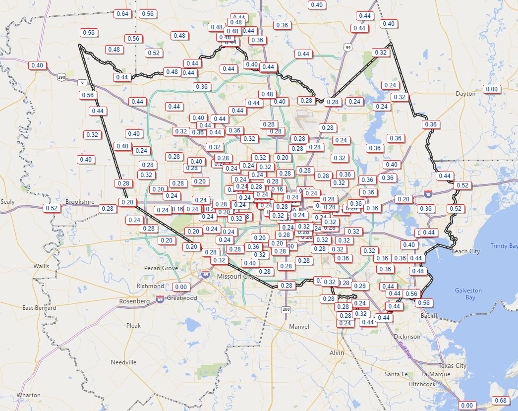
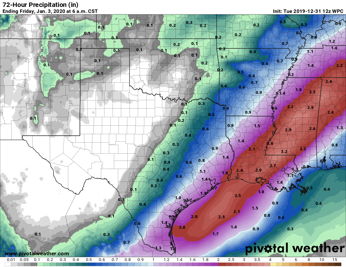
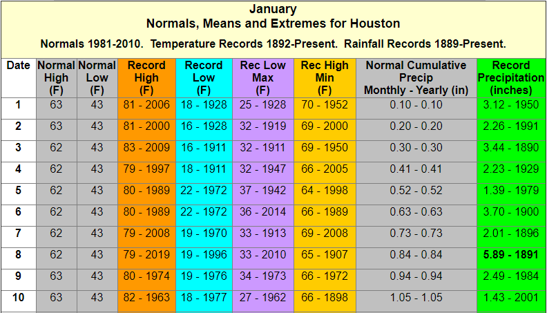
Houston just experienced an absolutely stunning weekend, with highs climbing into the 70s on Sunday. As a result, several people have asked whether winter is now over. It is decidedly not, but we are having quite mild conditions during what is normally the “dead” of winter. Historically, the first 10 days of January represent the coldest time of the year, when the average low in Houston falls to 43 degrees, and the average high is 62 degrees. With that said, Houston can have pretty strong cold outbreaks through the middle of March, so “winter” will likely last for about two more months. Inland parts of the region, at least, have a pretty good shot at reaching the 30s next weekend.
Also, please note that today begins the first of our daily looks at weather for the upcoming Houston Marathon, which takes place on Sunday, January 19. Those updates will occur at the end of each post.
Monday
Today will be another warm and pleasant one across Houston, with highs likely topping out in the mid-70s under mostly sunny skies. Winds will be light, out of the southwest. We would definitely be on a major upward trend in terms of temperatures but for a moderate cold front tonight. Expect it to pass through the region around midnight, give or take an hour or two, without the prospect of any rain. Lows should get down to around 50 degrees early Tuesday.
Tuesday
If you’re wondering what winter typically feels like in Houston, in January, today’s the day. Look for highs in the low- to mid-60s with lows in the low- to mid-40s. Skies will be sunny.
Wednesday
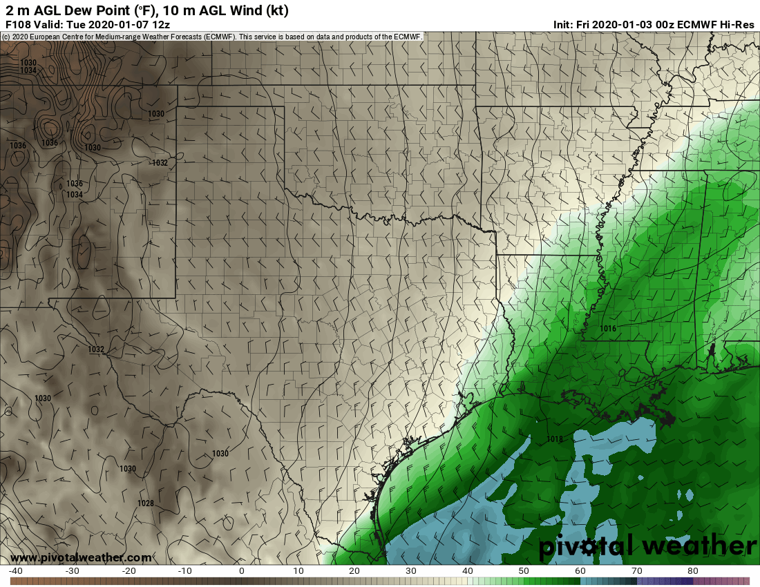
Winds will return from offshore on Wednesday, and you may notice them begin to kick up during the afternoon hours. They could gust up to about 20mph, or a bit higher along the coast. Otherwise, highs will reach into the upper 60s, with sunshine in the morning, and likely increasing clouds during the afternoon and evening as moisture levels rise in the atmosphere.