Good afternoon. We’re jumping in to say that yes, that potential for heavy rainfall we’ve been talking about was in fact real. And that it is happening right now. Essentially we have seen the collision of two atmospheric boundaries over the metro area this afternoon, and it has combined with daytime heating to produce widespread showers and thunderstorms.
Houston area radar shortly after 4pm CT on Friday. (RadarScope)
This rainfall is very much welcome, and helping to put a dent in our extreme drought conditions. But it has also come at an inconvenient time, with the Friday evening rush hour upon us, and the prospect of some high water in streets. While we do not anticipate significant flooding concerns, please do take some extra time and caution on the roadways this evening.
I do think that the slow movement of these storms to the southeast should continue, with the bulk of the heavy rainfall likely moving offshore by around sunset, if not before. After that we expect a fairly quiet period overnight and during the first half of the day on Saturday. However, it’s possible that we will see another round of storms on Saturday afternoon. We’ll have an update for you on Saturday morning with the latest on what to expect this weekend.
Did it rain on you yesterday? Or were you, like me, left jaded? I’ll tell you one place that saw some rain: Sienna and Arcola on the Brazoria/Fort Bend County line. Radar estimates that nearly 7 inches fell just west of Hwy 6 and 288 in Arcola.
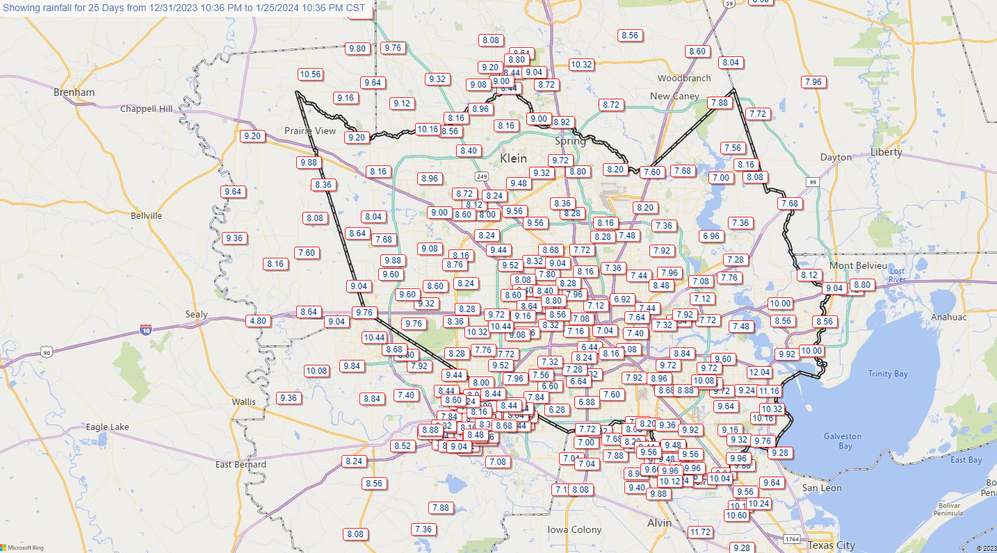
Total rainfall since yesterday morning shows most places saw 1.5 inches or less, but there were pockets of higher totals.
Heavy rain also delivered for Spring, Humble, and Kingwood with a healthy 1 to 4 inches or so. One of the storms up that way prompted a few warnings and did produce a 46 mph wind gust at Bush Airport. The 2.19″ at Bush were the most in a day since we essentially did just that (2.18″) on July 6th. The most widespread heavy rain fell across southern Hardin County to our east, back into portions of northern Liberty County.
Anyway, Matt here today, and thanks to Eric for covering me on a couple recent Fridays as I’ve been knee deep in shepherding The Eyewall along.
Between Idalia and Lee, we’ve had some stuff to talk about. Thankfully, the Gulf looks quiet for the foreseeable future. I want to thank y’all for your support of the site. It’s been fun to watch it slowly grow and pick up a few new dedicated followers from places like SoCal, Florida, and the Canadian Maritimes. Please continue to spread the word to your out of town friends and family.
Today
Rome wasn’t built in a day, and droughts don’t end in a day. Usually. But, hey, for the third day or so in a row, we have rain chances on the menu today. Are they high rain chances? Not especially. But expect at least some scattered showers or isolated thunderstorms with downpours. The best odds may be to the south and west of Houston. As has been the case this week, those downpours could add up quickly in spots and cause some brief street flooding. We will watch to see if perhaps a more vigorous disturbance could produce a more organized area of storms at some point later today to deliver a little more widespread rain. But that is not certain.
We’ll peak in the upper 80s today, maybe 90 or so with at least some scattered showers or storms around through the day. (NWS Houston)
Clouds will keep temperatures in check in spots. With rain, expect upper-70s to low-80s. With sun, expect near 90 degrees or a little hotter, with plenty of humidity to boot.
Saturday
Look for yet another day with rain chances. Again, many folks will see nothing. But just the fact that we have strung together multiple consecutive days with showers in the area is nice to see again. Anyway, I think the focus of rainfall tomorrow may be south of I-10 or southeast of Hwy 59/I-69 and toward the coast. But we’ll see. Expect morning lows in the 70s and highs of about 90 degrees or so.
Sunday
I would go forth with whatever plans you have Sunday without worrying too much. There will be a slight rain chance, especially toward the coast as a weak front pushes offshore. This should lower the humidity some and allow us to peak in the low-90s after a morning in the 70s.
Next week
The good news is that the Sunday front will actually yield a relatively pleasant morning Monday and perhaps Tuesday. Look for morning lows around 70 or so (with a few spots in the 60s) followed by daytime highs in the low-90s.
Monday morning doesn’t necessarily look refreshing, but it will be noticeably less humid and a little cooler with upper-60s to low-70s around the area. (Pivotal Weather)
Temperatures heat back up for the middle and end of next week and we may temporarily see rain chances return. We continue to see virtually no sign of a legitimate autumn cold front over the next 10 to 14 days. So late summer continues, perhaps into the end of September.
Good morning. As anticipated, much of the area on Wednesday along and south of Interstate 10 recorded rainfall. Today, widespread showers will extend across most of the rest of the region as an atmospheric disturbance moves in from the west. This will provide lift for the very moist air at the surface, and should lead to some healthy showers and thunderstorms.
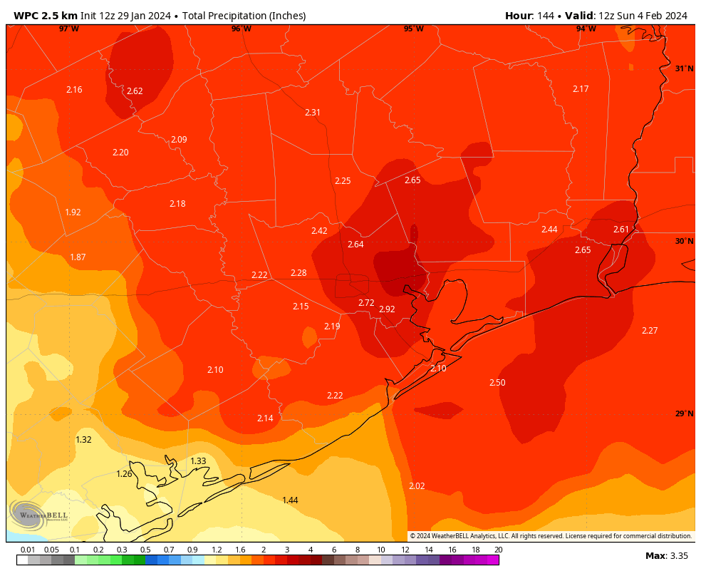
We’ll see some additional rain chances on Friday and Saturday, but all indications are that today will probably be the main event. I would expect that most (but not all) of the area will pick up 0.5 to 2 inches of rainfall today, with lesser accumulations possible on Friday and Saturday. Although a few intense downpours may briefly produce street flooding, these rains will, by and large, be very much welcome after our summer of heat and drought.
NOAA rain accumulation forecast for now through Saturday. (Weather Bell)
Thursday
Overall rain chances will be about 80 percent today given the favorable environment. Based upon the latest modeling I expect showers and thunderstorms to start developing by mid- to late-morning, with the greatest coverage during the afternoon hours. With mostly cloudy skies and rain cooled air, much of the region probably will record highs today in the mid- to upper-80s. Rain chances will slacken some overnight, but additional showers are possible.
Friday and Saturday
As of this point, both Friday and Saturday look to have similar weather conditions. We can expect partly cloudy skies and perhaps a 50 percent chance of rain both days. In terms of accumulations, both days may see rain totals measured in tenths of an inch, with a few higher isolated totals. Rain chances will persist into the evening and overnight hours. Both days should see highs of around 90 degrees.
Sunday
It now looks like a lesser chance of rain will persist into Sunday, probably something like 30 percent. Skies will be mostly sunny otherwise, with highs of around 90 degrees or a bit higher. Sometime on Sunday a weak front will push offshore, ushering in some slightly drier air into the region. This will effectively end rain chances, and should allow lows on Sunday night to drop into the low 70s for most of the area.
Summer is not going away over the next week, but we will be stepping back to a more acceptable level. (Weather Bell)
Next week
The slightly drier air should hang around for Monday and Tuesday, leading to some decently pleasant mornings and evenings. Highs will likely top out in the vicinity of the low 90s for most of next week, perhaps reaching the mid-90s toward week’s end. As the humidity returns in full force by around midweek, we should start to see the return of a few clouds and rain chances of perhaps 20 percent each day. This is about how mid-September should feel as we await the true onset of fall in the form of a strong-ish cold front. (For which there is nothing in sight, I’m afraid).
Good morning. For the upcoming period when we expect Houston to see better rain chances, Wednesday afternoon through Saturday, we’re now within the forecast range of high resolution models. This is important, because these models are better able to resolve the convective processes that produce rainfall. Typically, therefore, they tend to provide us with better insight into the timing, duration, and extent of rainfall.
If you recall, in our earlier posts this week, we spoke about accumulations of 0.5 to to 1 inch of rain, but based upon the latest modeling it now appears likely that many locations will receive more than this. Generally, that should be an excellent thing, because so much of the region remains in an exceptional or extreme drought.
NOAA rainfall outlook for now through Saturday. (Weather Bell)
So how much rainfall are we talking about? Well, it’s still too early to have great confidence, because our best high resolution models are still only looking out to Friday, not all the way through the high-rainfall chance period. But based upon the latest data, the current expectation is that much of the area will receive 1.5 to 3.0 inches through Saturday.
All of this is being driven by the absence of high pressure, and a weak front drifting toward the area that will help perturb the atmosphere. Our confidence in some of the fine details remains uncertain, but overall the pattern is supportive of widespread, on-and-off rainfall. We cannot rule out some flooding, but conditions are not optimal for very heavy, sustained rainfall, so I don’t expect significant issues on area roadways.
Wednesday
Today should be the last day that the region sees high temperatures in the mid-90s for a little while. Expect highs, generally, in the range of 93 to 97 degrees, with partly sunny skies. Rain chances are low today before the late afternoon and evening hours, at which point the favored locations will be between Interstate 10 and the coast. Rain chances will persist into the overnight hours, albeit with lesser coverage. Winds will be light, generally from the northwest. Lows tonight will drop into the upper 70s.
Thursday and Friday
It still appears that these days will offer the best rain chance for the entire metro area, likely around 70 percent. Skies on both days should be partly to mostly cloudy, and this should help to limit highs to around 90 to 92 degrees. Both days should see widespread, intermittent showers. Winds will be light, from the northeast. Rain chances will be less overnight, but still non-zero.
Daytime highs of 90 degrees, is such a thing even possible? (Weather Bell)
Saturday and Sunday
The first half of the weekend will see a continued chance of rain, with highs again in the low 90s. However, by Sunday morning we should start to see the influence of a weak front that will bring drier air into the region and largely end our rain chances. Highs on Sunday will probably be in the low 90s, with overnight lows dropping pleasantly into the low 70s.
Next week
With the influx of drier air, we’re likely to see highs in the mid-90s on Monday and Tuesday. However, humidity will be slightly lower, with nights a bit cooler. The front’s influence will dissipate pretty quickly, however. Therefore, most of next week probably will see highs in the low- to mid-90s, with some slight rain chances maybe returning by Wednesday or Thursday. Still no sign of a strong fall cool front yet, I’m afraid. We’re still at least 10 days out from that.
Track forecast for Hurricane Lee as of Wednesday morning. (National Hurricane Center)
Tropics
The good news is that the Gulf of Mexico is completely quiet, and likely to remain so for at least the next week or 10 days. Wind shear is really ripping out there, and that’s lovely to see in September, especially with sea surface temperatures so warm. Hurricane Lee, however, is increasingly a concern for New England and Nova Scotia. We’ll continue to have full details on Lee, and all the rest of the Atlantic basin, on our sister site The Eyewall.